Image:Jutland peninsula 2.png
Un article de Wikipédia, l'encyclopédie libre.
Taille de cet aperçu : 398 × 599 pixels
Image en plus haute résolution (514 × 774 pixels, taille du fichier : 13 Kio, type MIME : image/png)
| | Ce fichier provient de Wikimedia Commons?. Les informations le concernant sont affichées ci-dessous (procédure). |
[edit] Summary
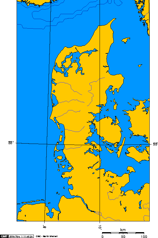
| Description |
jutland peninsula, europe |
||
|---|---|---|---|
| Source |
self-made |
||
| Date |
1 November 2004 |
||
| Author | |||
| Permission (Reusing this image) |
|

This image was created using this online map creation tool. I used 7E 69N and 13E 53.3N as the boundaries. It is a lambert azimuthal projection. Geo Swan 11:01, 1 Nov 2004 (UTC)
Historique du fichier
Cliquer sur une date et une heure pour voir le fichier tel qu’il était à ce moment-là
| Date et heure | Dimensions | Utilisateur | Commentaire | |
|---|---|---|---|---|
| actuel | 26 août 2005 à 21:46 | 514×774 (13 Kio) | Sfdan | (Reverted to earlier revision) |
| 26 août 2005 à 21:45 | 514×774 (13 Kio) | Sfdan | (Jutland Peninsula, Europe. {{GFDL}} Transferred from English wiki--> This image was created using [http://www.aquarius.geomar.de/omc/make_map.html this online map creation tool]. I used 7E 69N and 13E 53.3N as the boundaries. It is a lambert azimuth) | |
| 23 mars 2005 à 18:28 | 514×774 (13 Kio) | Laurens | (Jutland peninsula) |
Pages contenant l’image
La page ci-dessous contient cette image :

