Image:IBRA 6.1 Tanami.png
Un article de Wikipédia, l'encyclopédie libre.
Taille de cet aperçu : 764 × 599 pixels
Image en plus haute résolution (1 257 × 986 pixels, taille du fichier : 83 Kio, type MIME : image/png)
| | Ce fichier provient de Wikimedia Commons?. Les informations le concernant sont affichées ci-dessous (procédure). |
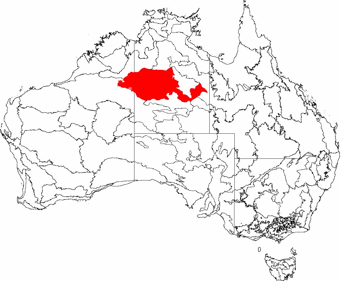
| Description |
This is a map of the Interim Biogeographic Regionalisation of Australia (IBRA), with state boundaries overlaid. The Tanami region is shown in red. |
|---|---|
| Source |
It was created by the uploader. |
| Date |
2007-02-6 |
| Author | |
| Permission (Reusing this image) |
|

Historique du fichier
Cliquer sur une date et une heure pour voir le fichier tel qu’il était à ce moment-là
| Date et heure | Dimensions | Utilisateur | Commentaire | |
|---|---|---|---|---|
| actuel | 3 mars 2007 à 12:55 | 1 257×986 (83 Kio) | Hesperian | |
| 7 février 2007 à 01:55 | 1 149×948 (77 Kio) | Hesperian | (red) | |
| 6 février 2007 à 04:23 | 1 149×948 (77 Kio) | Hesperian | ({{Information |Description=This is a map of the Interim Biogeographic Regionalisation of Australia (IBRA), with state boundaries overlaid. The '''Tanami''' region is filled in grey. |Source=It was created by the uploader. |Date=2007-02-6 |Author=[[User:He) |
Pages contenant l’image
La page ci-dessous contient cette image :

