Image:Greater london outline map bw.png
Un article de Wikipédia, l'encyclopédie libre.
Pas de plus haute résolution disponible.
Greater_london_outline_map_bw.png (600 × 500 pixels, taille du fichier : 199 Kio, type MIME : image/png)
| | Ce fichier provient de Wikimedia Commons?. Les informations le concernant sont affichées ci-dessous (procédure). |
[edit] Summary
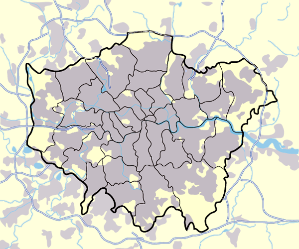
Image:Greater_london_outline_map.png showing built up areas in grey, motorways in blue, water-bodies in light-blue and London borough and county boundaries in black.
Based on a map originally by User:ChrisO.
Revised to correct motorways. DavidCane 19:42, 31 March 2007 (UTC)
[edit] Licensing

Historique du fichier
Cliquer sur une date et une heure pour voir le fichier tel qu’il était à ce moment-là
| Date et heure | Dimensions | Utilisateur | Commentaire | |
|---|---|---|---|---|
| actuel | 11 mars 2008 à 19:13 | 600×500 (199 Kio) | Jhamez84 | (slight alteration making the boundaries clearer between Newham and Barking and Dagenham - Ealing and Hounslow - and City of London and the City of Westminster) |
| 31 mars 2007 à 21:40 | 600×500 (217 Kio) | DavidCane | ||
| 19 mars 2007 à 16:33 | 600×500 (512 Kio) | Jhamez84 | (minor colour correction) | |
| 19 mars 2007 à 16:30 | 600×500 (512 Kio) | Jhamez84 | (yellowed white backdrop and altered blue of water bodies inline with UK mapping) | |
| 15 mars 2007 à 13:16 | 600×500 (552 Kio) | Jhamez84 | (Corrected some issues with Motorways and borough boundaries. ) | |
| 25 février 2007 à 21:22 | 600×500 (476 Kio) | Jhamez84 | (Map of Greater London and area. Self made and released to public domain.) | |
| 18 novembre 2006 à 20:09 | 600×500 (21 Kio) | Dtcdthingy | (Image:Greater_london_outline_map.png with toned down colour scheme. Originally by User:ChrisO.) |
Pages contenant l’image
Les pages ci-dessous contiennent cette image :

