Image:DEMVercors.png
Un article de Wikipédia, l'encyclopédie libre.
Taille de cet aperçu : 545 × 600 pixels
Image en plus haute résolution (1 958 × 2 154 pixels, taille du fichier : 1,91 Mio, type MIME : image/png)
| | Ce fichier provient de Wikimedia Commons?. Les informations le concernant sont affichées ci-dessous (procédure). |
[edit] Summary
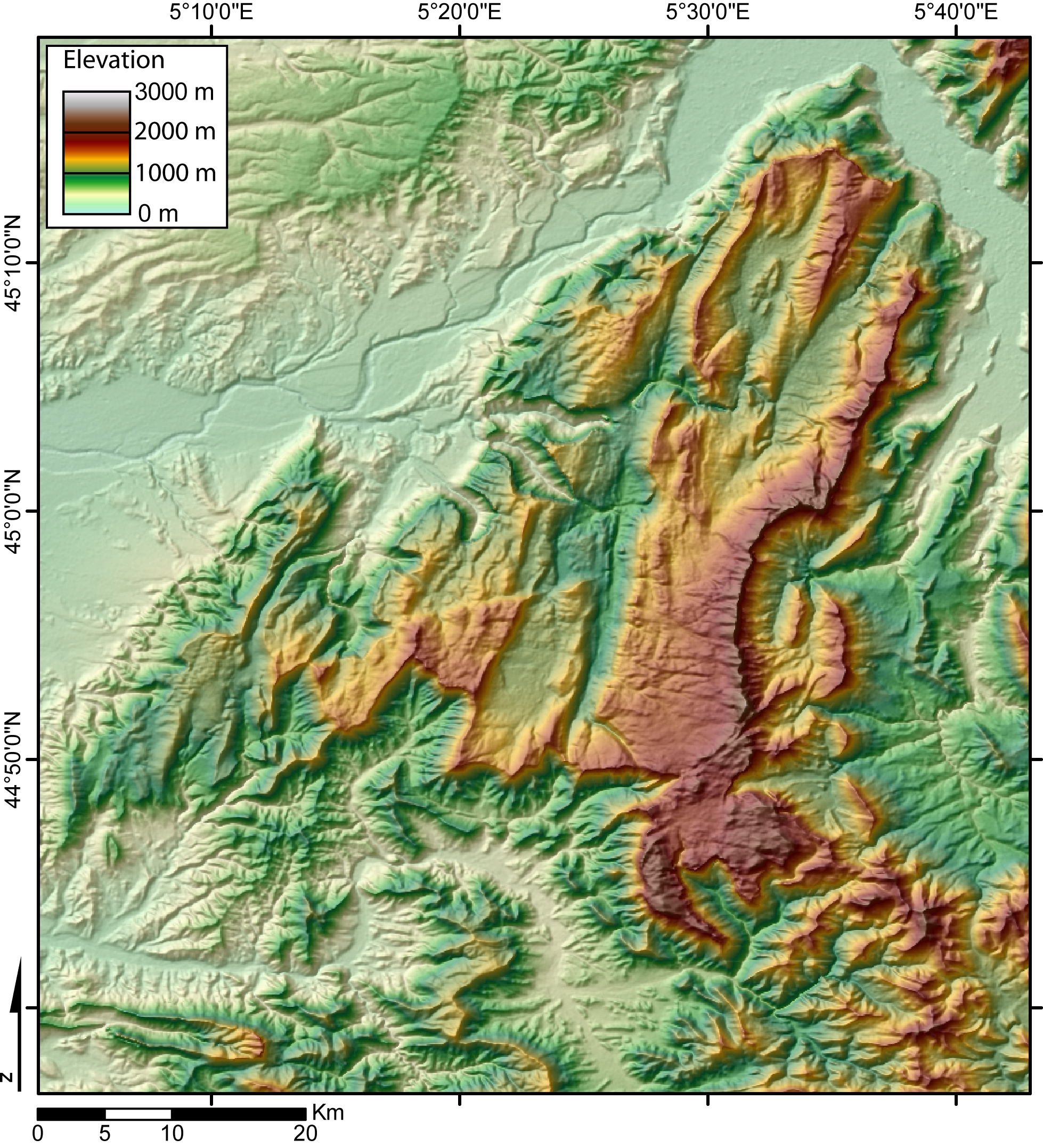
Digital Elevation Model of the Vercors massif (French Alps) created by jide from the 90m pixel size SRTM dataset. The broad valley to the NW and NE is the Isere valley. The city of Grenoble lie in the Gresivaudan, at the NE of the Vercors massif.
[edit] Licensing

Historique du fichier
Cliquer sur une date et une heure pour voir le fichier tel qu’il était à ce moment-là
| Date et heure | Dimensions | Utilisateur | Commentaire | |
|---|---|---|---|---|
| actuel | 8 novembre 2005 à 02:59 | 1 958×2 154 (1,91 Mio) | Jide | (Digital Elevation Model of the Vercors massif (French Alps) created by jide from the 90m pixel size SRTM dataset. The broad valley to the NW and NE is the Isere valley. The city of Grenoble lie in the Gresivaudan, at the NE of the Vercors massif.) |
Pages contenant l’image
Les pages ci-dessous contiennent cette image :

