Image:Cordova Alaska aerial view.jpg
Un article de Wikipédia, l'encyclopédie libre.
Taille de cet aperçu : 635 × 600 pixels
Image en plus haute résolution (1 500 × 1 417 pixels, taille du fichier : 821 Kio, type MIME : image/jpeg)
| | Ce fichier provient de Wikimedia Commons?. Les informations le concernant sont affichées ci-dessous (procédure). |
| Description |
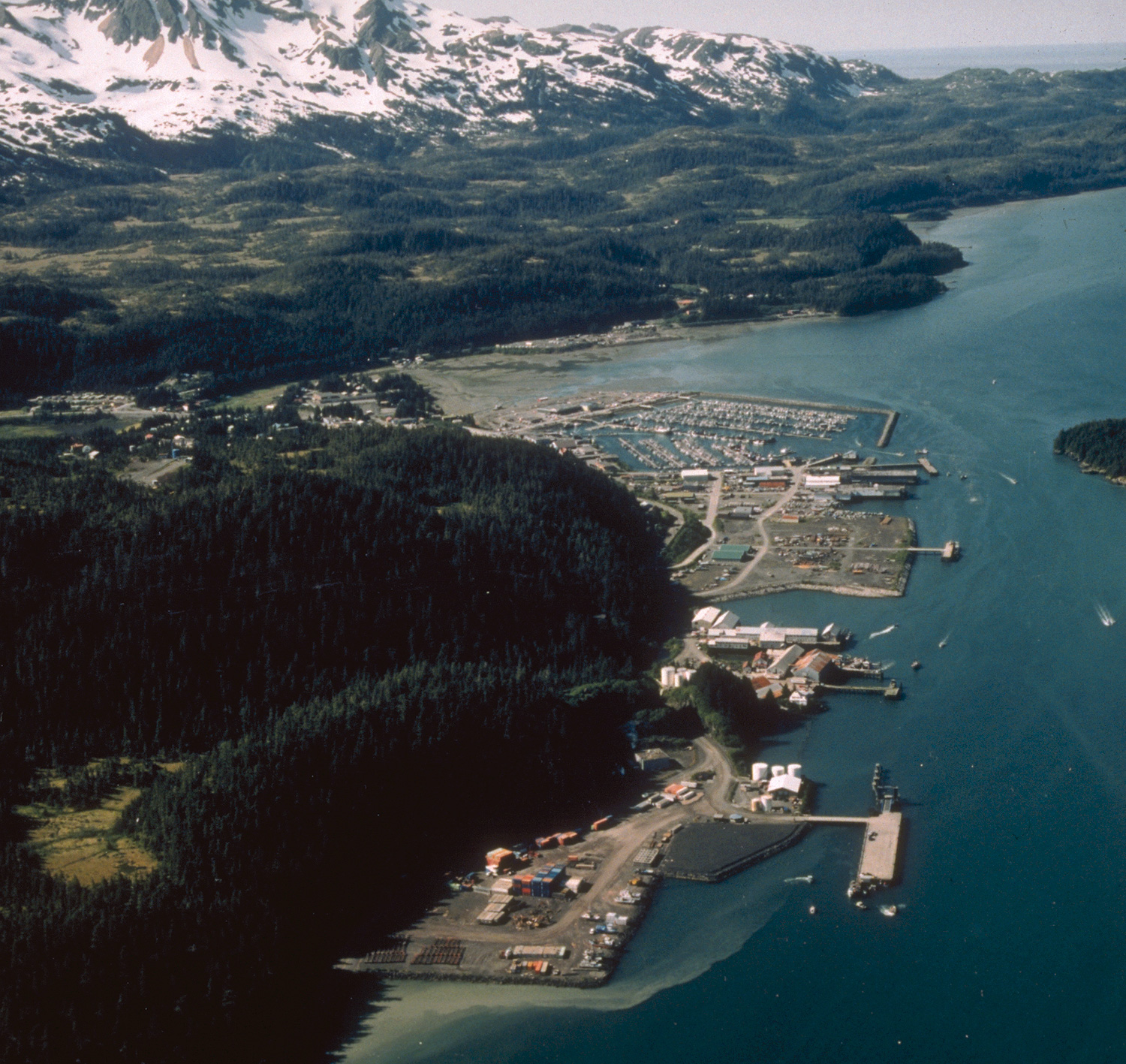
Aerial view of Cordova, Alaska. |
|||
|---|---|---|---|---|
| Source |
U.S. Army Corps of Engineers Digital Visual Library |
|||
| Date |
not specified or unknown |
|||
| Location | Cordova, Alaska, USA 60°32′58.64″N, 145°45′50.34″W |
|||
| Author |
U.S. Army Corps of Engineers, photographer not specified or unknown |
|||
| Permission |
|
|||
| Other versions of this file |
Historique du fichier
Cliquer sur une date et une heure pour voir le fichier tel qu’il était à ce moment-là
| Date et heure | Dimensions | Utilisateur | Commentaire | |
|---|---|---|---|---|
| actuel | 20 mars 2007 à 03:28 | 1 500×1 417 (821 Kio) | DanMS | (Whoops! Uploaded wrong picture last time.) |
| 20 mars 2007 à 03:23 | 1 500×1 420 (747 Kio) | DanMS | ({{Information | Description = Aerial view of Cordova, Alaska | Source = U.S. Army Corps of Engineers Digital Visual Library<br />[picture page url Image page]<br />[description page url Image description page]<br />[http://images.usace.army.mil) |
Pages contenant l’image
La page ci-dessous contient cette image :

