Image:Bayou Teche and Atchafalaya River.jpg
Un article de Wikipédia, l'encyclopédie libre.
Taille de cet aperçu : 399 × 599 pixels
Image en plus haute résolution (999 × 1 500 pixels, taille du fichier : 213 Kio, type MIME : image/jpeg)
| | Ce fichier provient de Wikimedia Commons?. Les informations le concernant sont affichées ci-dessous (procédure). |
| Description |
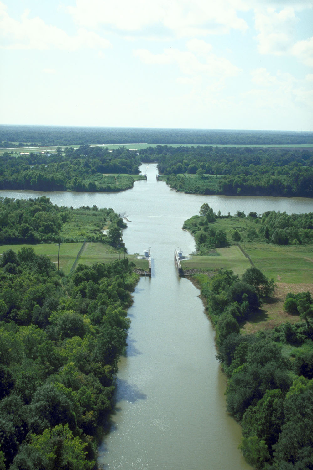
English: The intersection of Bayou Teche and the Wax Lake outlet of the Atachafalaya River near Patterson, Louisiana, USA. Bayou Teche runs straight up the center of the picture. The Wax Lake outlet of the Atchafalaya runs across left–right. The U.S. Army Corps of Engineers has built water control structures on the bayou where it intersects with the river.
|
|||
|---|---|---|---|---|
| Source |
U.S. Army Corps of Engineers Digital Visual Library |
|||
| Date |
1999-08-12 |
|||
| Author |
Michael Maples, U.S. Army Corps of Engineers |
|||
| Permission (Reusing this image) |
|
| Camera location | This and other geocoded Commons images: | (Info) |
|---|
Historique du fichier
Cliquer sur une date et une heure pour voir le fichier tel qu’il était à ce moment-là
| Date et heure | Dimensions | Utilisateur | Commentaire | |
|---|---|---|---|---|
| actuel | 7 avril 2007 à 21:57 | 999×1 500 (213 Kio) | DanMS | ({{Information | Description = {{en|The intersection of Bayou Teche and the Wax Lake outlet of the Atachafalaya River near Patterson, Louisiana, USA. Bayou Teche runs straight up the center of the picture. The Wax Lake outlet of the Atchafalaya runs acr) |
Pages contenant l’image
La page ci-dessous contient cette image :

