Image:Arabian Sea map.png
Un article de Wikipédia, l'encyclopédie libre.
Taille de cet aperçu : 634 × 600 pixels
Image en plus haute résolution (800 × 757 pixels, taille du fichier : 223 Kio, type MIME : image/png)
| | Ce fichier provient de Wikimedia Commons?. Les informations le concernant sont affichées ci-dessous (procédure). |
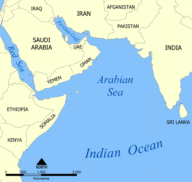
A map showing the location of the Arabian Sea in the Indian Ocean.
Created by , 2005.

Historique du fichier
Cliquer sur une date et une heure pour voir le fichier tel qu’il était à ce moment-là
| Date et heure | Dimensions | Utilisateur | Commentaire | |
|---|---|---|---|---|
| actuel | 19 juillet 2005 à 16:30 | 800×757 (223 Kio) | NormanEinstein | (A map showing the location of the Arabian Sea in the Indian Ocean. Created by NormanEinstein, Jully 19, 2005. {{GFDL-self}} Category:Maps of seas) |
| 19 juillet 2005 à 16:30 | 800×757 (223 Kio) | NormanEinstein | (A map showing the location of the Arabian Sea in the Indian Ocean. Created by NormanEinstein, Jully 19, 2005. {{GFDL-self}} Category:Maps of seas) |
Pages contenant l’image
Les pages ci-dessous contiennent cette image :

