Image:Angola Provinces Bengo 250px.png
Un article de Wikipédia, l'encyclopédie libre.
Pas de plus haute résolution disponible.
Angola_Provinces_Bengo_250px.png (250 × 283 pixels, taille du fichier : 15 Kio, type MIME : image/png)
| | Ce fichier provient de Wikimedia Commons?. Les informations le concernant sont affichées ci-dessous (procédure). |
| Description |
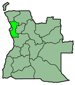
A map from province Bengo, Angola Español: Mapa de Angola resaltando la provincia
|
|---|---|
| Source |
english wikipedia |
| Date |
2004 |
| Author | |
| Permission (Reusing this image) |
GFDL |
| Other versions | none |

Historique du fichier
Cliquer sur une date et une heure pour voir le fichier tel qu’il était à ce moment-là
| Date et heure | Dimensions | Utilisateur | Commentaire | |
|---|---|---|---|---|
| actuel | 8 février 2006 à 18:33 | 250×283 (15 Kio) | Karlos666 | ({{Information |Description = A map from province Bengo, Angola |Source = english wikipedia |Date = 2004 |Author = Sascha Noyes |Permission = {{GFDL}} |other_versions = ''none'' |}}) |
Pages contenant l’image
La page ci-dessous contient cette image :

