Image:Airports New York City Map Julius Schorzman.png
Un article de Wikipédia, l'encyclopédie libre.
Taille de cet aperçu : 616 × 600 pixels
Image en plus haute résolution (2 652 × 2 582 pixels, taille du fichier : 6,2 Mio, type MIME : image/png)
| | Ce fichier provient de Wikimedia Commons?. Les informations le concernant sont affichées ci-dessous (procédure). |
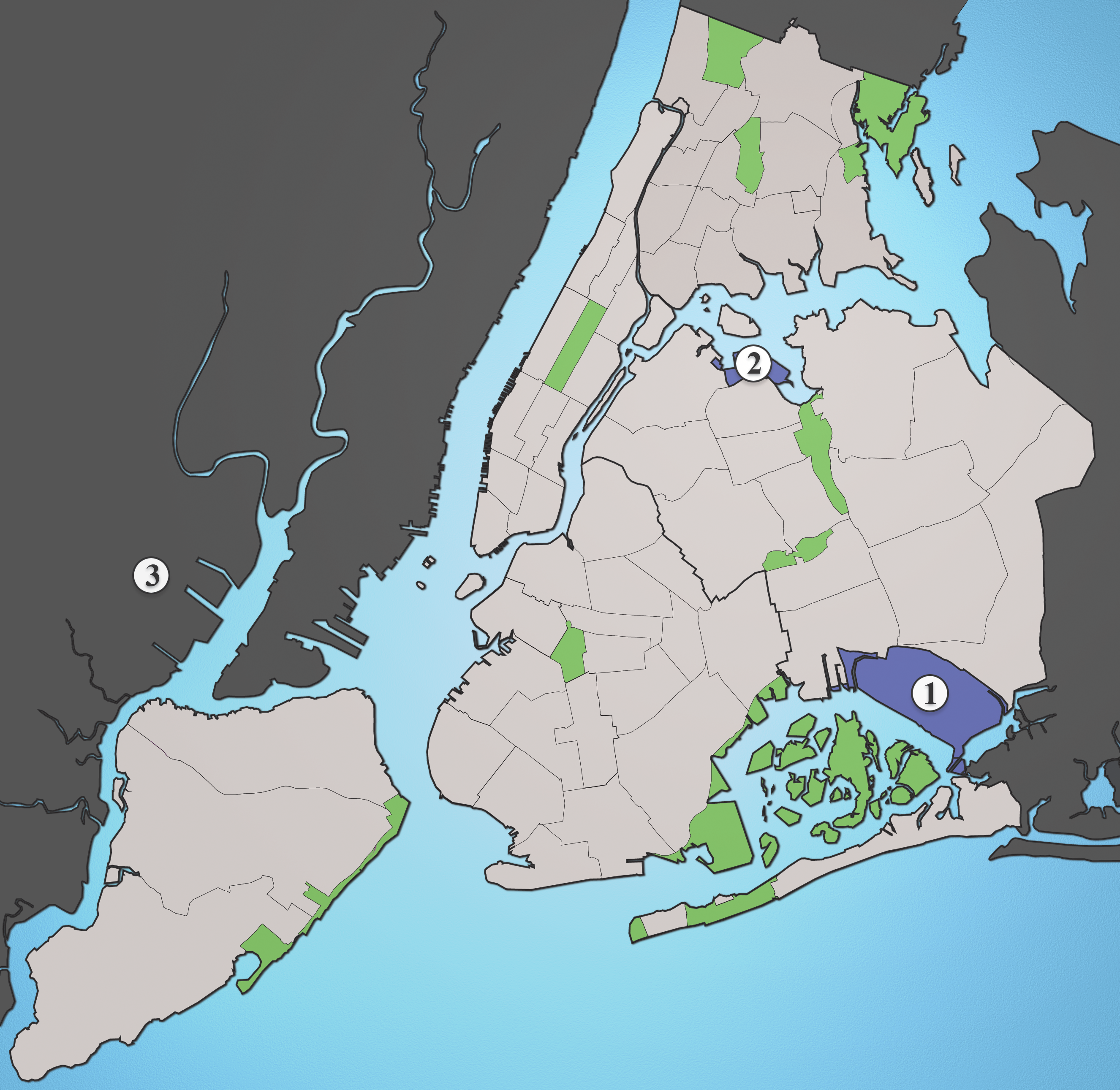
A map showing the major airports serving New York City.
- JFK
- LGA
- EWR
Source: I created this image using various maps and images. Attribution: Julius Schorzman
[edit] Other versions
 A revised version with Floyd Bennett Field |
| This file is licensed under the Creative Commons Attribution ShareAlike 2.5 License. In short: you are free to share and make derivative works of the file under the conditions that you appropriately attribute it, and that you distribute it only under a license identical to this one. Official license |
Historique du fichier
Cliquer sur une date et une heure pour voir le fichier tel qu’il était à ce moment-là
| Date et heure | Dimensions | Utilisateur | Commentaire | |
|---|---|---|---|---|
| actuel | 19 août 2005 à 04:26 | 2 652×2 582 (6,2 Mio) | Quasipalm | (A map showing the major airports serving New York City. # JFK # LGA # EWR Source: I created this image using various maps and images. {{cc-by-sa-2.5}} Category:Maps of New York CityCategory:Images created by user Julius Schorzman\) |
Pages contenant l’image
Les pages ci-dessous contiennent cette image :

